ALOS (nicknamed “Daichi”) is a Japanese Earth-observation satellite, developed by JAXA (Japan Aerospace Exploration Agency), with the main objective of mapping the Earth’s surface, monitoring disasters and providing resource surveying. But now, instead of taking advantage of this satellite’s massive scientific potential, let’s indulge ourselves in some great imagery from it:
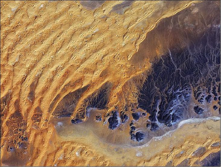
The Sahara desert
In this image, a large area of rock appearing purple stretches across the right side of the image, with fluvial erosion patterns testament to an earlier time when the area received more rainfall. Today, this area sees an average of about 10 mm of rainfall per year. Wind-shaped sand dunes are visible on the left. The area at the bottom appears to be flat, with tiny specks of vegetation.
The ALOS spacecraft acquired this AVNIR-2 image of the Sahara desert in Algeria on January 28, 2011
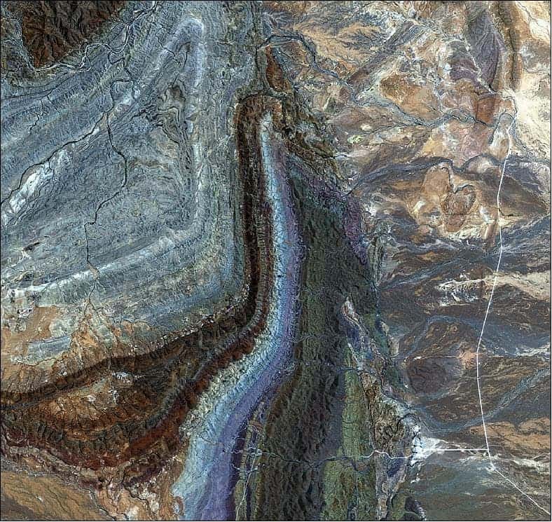
Flinders Ranges, South Australia
The curving structures that dominate this image are part of a larger geosyncline – a subsiding linear trough in Earth’s crust – that includes the Flinders Ranges. The geosyncline consists of sedimentary rocks in a basin that were folded about 500 million years ago and have been eroded to the current landscape.
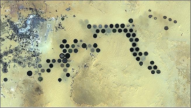
Oasis image of the AVNIR-2
The dark circles are actually irrigated agricultural fields 1 km across. Since the area receives virtually no rainfall, fossil water is pumped from deep underground for irrigation.
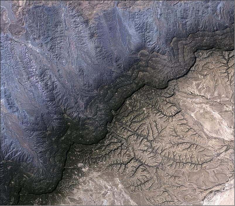
Somalia’s Cal Madow mountain range
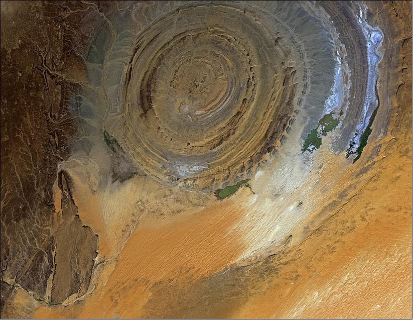
At 5199 m, Mount Kenya is the second highest peak in Africa. This stratovolcano is one of many volcanoes in the east of the Great Rift Valley (about 175km North-East of Nairobi), an area where two tectonic plates are moving apart.Richat structure (also called the Eye of the Sahara) in the Sahara Desert of Mauritania, acquired on Nov. 23, 2010 with the AVNIR-2 instrument on ALOS (image credit: JAXA, ESA).