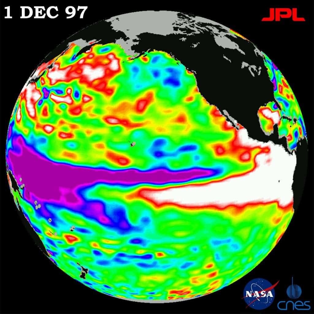
The scientists from the Australian Meteorology Bureau estimate that there’s a good chance that El Nino will form in the southern hemisphere’s winter (northern hemisphere’s summer).

El Nino is a band of anomalously warm ocean water temperatures that periodically develop off the Pacific coast of South America. The results of this pattern are extreme weather events, floods, droughts, etc. When it does form, it has a devastating effect on agriculture, having the most impact on developing countries which greatly rely on agriculture and fishing.
“Although the El Niño–Southern Oscillation (ENSO) is currently neutral, surface and sub-surface ocean temperatures have warmed considerably in recent weeks, consistent with a state of rapid transition.”,said the Australian MeteorologyBureau.
Their climate models forecast a continuous warming in the central Pacific in the upcoming months, and it’s very likely that temperatures will reach El Nino thresholds during the winter season (for the southern hemisphere).
The strength of an El Niño does not always indicate how much it will influence rainfall and how much it will be associated with extreme events. There are examples when weak events have led to massive droughts in some areas and massive rainfalls in others, and the same can be said for the opposite. t is too early to determine the strength of this potential El Nino.
The effects also vary from continent to continent. In South America, the effects typically include massive thunderstorms, increased rainfall, and sometimes strong winds. In North America the effects are similar, but much smaller in amplitude.
Via Australian Meteorology Bureau.
Was this helpful?


