Technological innovation in agriculture is nothing new. For millennia, hand tools had been used in agricultural activities, but the industrial revolution gave birth to the cotton gin. In the 1800s the first elevators, chemical fertilizers, and the first gasoline-powered tractor appeared, offering unprecedented progress. And by the late 1900s, farmers had started using satellite imagery in the planning of their agricultural activities.
The so-called precision farming technologies were designed to facilitate and optimize the management of different processes. In the last 5-7 years, the agro-industrial complex has experienced a boom in technology: automated agricultural equipment, integration systems, digital technologies for optimizing the operation of machines. Those innovations are now called smart farming technologies. Let’s see what they include.
Smart Farming Technologies
Smart agriculture is a concept based on the use of various innovative solutions by farmers to automate agricultural activities, increase yields, and improve financial performance. Currently, society is on the verge of a new era in agriculture, which is digital farming. That means the technologies allow managing fields remotely with the use of different devices or via the analyzed satellite imagery, like the Crop Monitoring tool by EOS Data Analytics.
Smart farming technologies that study agricultural covers often involve the use of GPS-controlled agricultural equipment and other specialized sensors. In a number of countries, remotely controlled equipment is already on the market. Tractors with such equipment successfully operate in the fields, and farmers confirm better precision as a result.
However, modernized “smart” tractors and combines are not the only novelty offered by the manufacturers. According to SuccessfulFarming, even drones have become widely used in agriculture. Equipped with cameras and sensitive sensors, they can inspect fields and monitor crop health. Such devices, along with tractors, will be able to collect information for the development of maps, help make up a fertilizer application schedule, and even guard fields.
Different sensors are also actively used for obtaining various information from the fields. The basis of the system for determining the characteristics of the soil are sensors that are installed in the ground at control points. The sensors are able to detect the changes in soil content and the weather, identify the number of weeds and pests, and more.
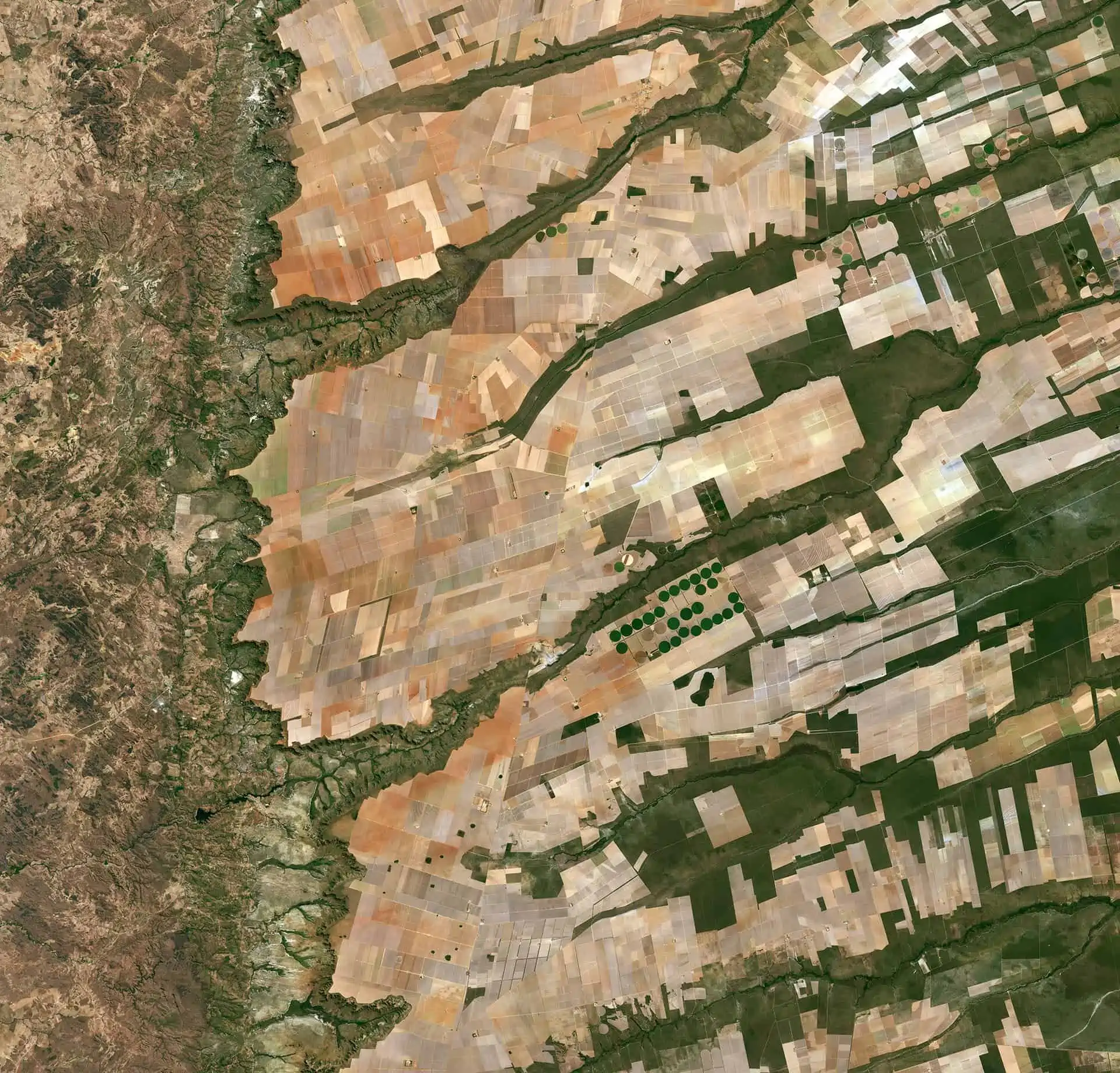
Another big part of precision agriculture technologies is satellite imagery. Let’s see how it can be used to help farmers.
Satellite Data in Agriculture
Space monitoring is one of ag technologies that make it possible to effectively track various aspects of agricultural activities. It allows for doing inventories of agricultural lands, maintaining operational control of the state of crops at various development stages, as well as identifying land degradation processes and potential threats to crops.
The application of space monitoring in the agro-industrial complex opens the following possibilities:
- Determining the exact fields borders
- Doing the inventory of agricultural lands
- Lands mapping (arable land, meadows, orchards, perennial plants, fallows and unused lands);
- Crop rotation mapping
- Identification of areas affected with erosion, waterlogging, and other manifestations of land degradation
- Remote crops health monitoring through their lifecycle based on vegetation indices
Besides, satellite monitoring can help even in legal aspects:
- Identification of unaccounted sown areas
- Obtaining accurate information about the state of crops and land for agricultural insurance purposes
- Help in resolution of disputes related to land use
The easiest way to access the benefits of using satellite data is via the online tools with already built-in algorithms that analyze this information on-the-fly. One of such tools is EOS Crop Monitoring
Crop Monitoring
This tool leverages satellite data to help farmers manage their fields easy, effectively and remotely . When making decisions, they can rely on vegetation indices, fields zoning by productivity, weather data (historical and current), automatic detection and notification on negative vegetation changes, identification of plants growth stages, access to crop rotation data, remote scouting management among other useful functions
Most importantly, all this information is accessible on one screen, allowing to manage several fields simultaneously , saving resources on their monitoring, increasing yields and revenue.
Here are the main advantages of this tool when it comes to solving agricultural problems:
- Efficiency. Satellite images show the most relevant and up-to-date information on the field, allowing farmers to make decisions in a timely manner
- Accuracy. The information obtained from satellite images is highly reliable and reflects the actual picture of the state of agricultural land and plants
- Visibility. Access to high-resolution imagery for deeper research
- Scale. Possibility of obtaining information not only on huge areas but also observing several distant lands simultaneously
Satellites are already helping farmers assess the health of their crops and monitor their change easier and faster. The application of this technology has already proven its value and economic benefits by helping reduce crop losses due to the lack of nutrition or other issues and increasing efficiency by cutting the use of expensive agrochemicals.
This goes to show that the future of agriculture might greatly depend on the use of satellite imagery, attracting more and more farmers to precision technologies. Agriculture is on the verge of a true revolution. With the world population continuing to grow, we need every bit of help we can get.


