Quantcast
ZME Science
  • News
  • Environment
  • Health
  • Future
  • Space
  • Features
  • ZME & more
    • About
    • The Team
    • Advertise
    • Contribute
    • Our stance on climate change
    • Privacy Policy
    • Contact
No Result
View All Result
ZME Science

No Result
View All Result
ZME Science
Home Science Geology

A journey with Landsat from Russia’s far north to Africa’s southern tip in 16 minutes

by Tibi Puiu
May 29, 2013
in Geology, Space, Videos
A A
Share on FacebookShare on TwitterSubmit to Reddit

landsat

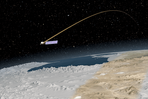
Since its deployment in 1972 the Landsat satellite has provided invaluable and permanent imaging of Earth along its orbit. Like an ever faithful watchdog, the satellite has helped  people working in agriculture, geology, forestry, peacekeeping, regional planning and land-use change who have made good use of the images it has provided.

If you’ve ever wondered what a view from this legendary satellite might have looked like, then you’ll rejoice to find out  NASA and the U.S. Geological Survey recorded one of Landsat’s trips from the extreme northern latitudes of Russia down to the southern tip of Africa – in total, a 5,665 miles long ribbon which took 20 minutes to cross. The video of the whole trip can be seen below.

YouTube video

It’s 15:57 minutes long since the video’s creators sped it up to the equivalent of Landsat traveling at nearly 22,000 mph, instead of 16,800 mph.

Tags: landsatsatellite

ShareTweetShare
ADVERTISEMENT
ADVERTISEMENT
  • News
  • Environment
  • Health
  • Future
  • Space
  • Features
  • ZME & more

© 2007-2021 ZME Science - Not exactly rocket science. All Rights Reserved.

No Result
View All Result
  • News
  • Environment
  • Health
  • Future
  • Space
  • Features
  • ZME & more
    • About
    • The Team
    • Advertise
    • Contribute
    • Our stance on climate change
    • Privacy Policy
    • Contact

© 2007-2021 ZME Science - Not exactly rocket science. All Rights Reserved.