Mobile US seismic array maps American mantle
A laudable, ambitious initiative is nearing fruition: the US$90-million Transportable Array, a moveable grid of seismometers that blankets America. Since 2004, the set of 400 seismometers, loaded on trucks, have gradually marched, from the Pacific coast across the Rocky Mountains and the Great Plains and is finally reaching the eastern coastline. Whenever they arrive at […]
A laudable, ambitious initiative is nearing fruition: the US$90-million Transportable Array, a moveable grid of seismometers that blankets America.
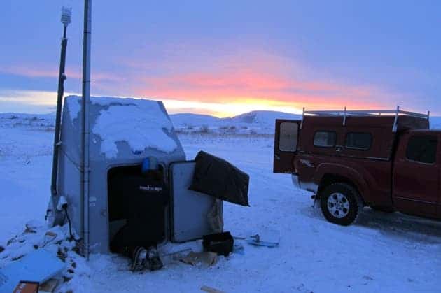
Since 2004, the set of 400 seismometers, loaded on trucks, have gradually marched, from the Pacific coast across the Rocky Mountains and the Great Plains and is finally reaching the eastern coastline. Whenever they arrive at the specified location, scientists dig holes and bury instruments in plastic cases. The project’s purpose is to establishe the best picture yet of the mantle beneath the North American continent.

Source: IRIS.
Reaching a few hundred kilometers beneath the surface, the array analyzes how natural waves from earthquakes move in the mantle and the crust, painting the most accurate picture so far. The array works similar to a CT scan – moving across the surface and gathering information from more and more points.
“As the array has moved, the whole picture of what’s under North America has gotten much sharper,” says Andy Frassetto, a seismologist at the Incorporated Research Institutions for Seismology (IRIS) in Washington DC, which operates the stations.
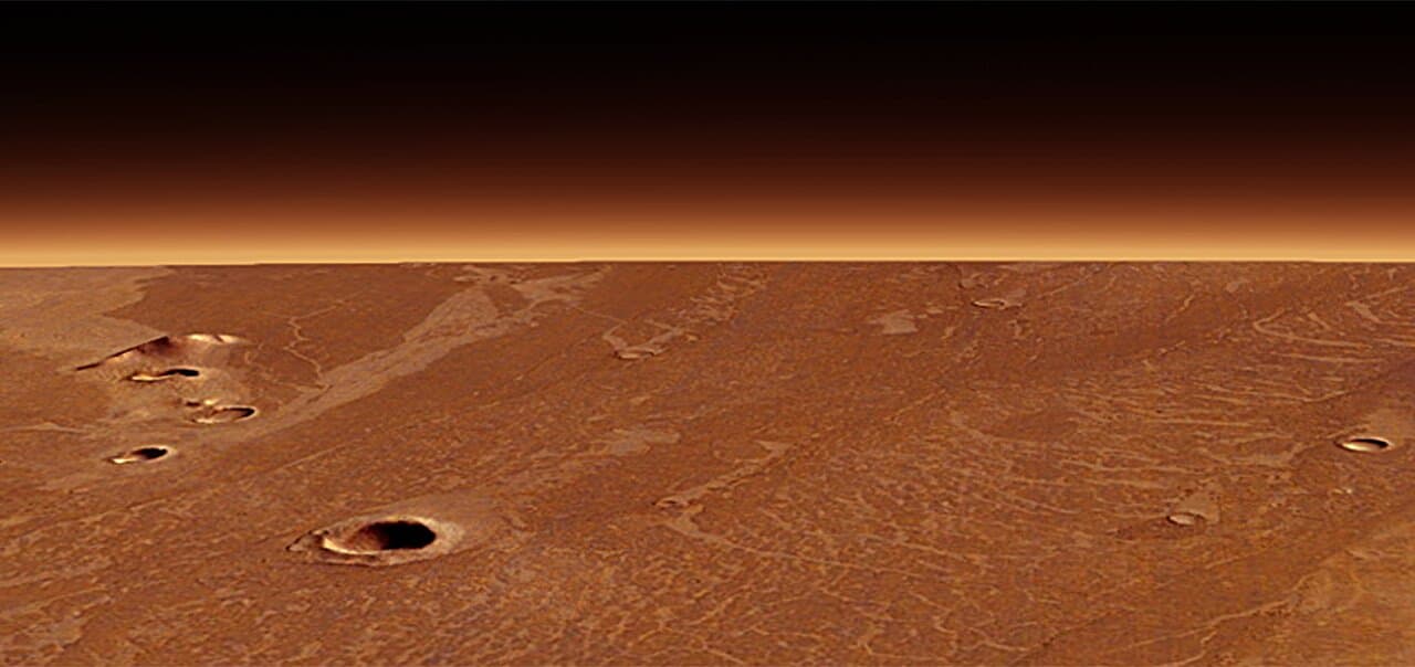
Having almost finished their work in 48 states, they are now heading over to Alaska, where the toughest challenge awaits. The Transportable Array, along with other permanent and temporary seismic stations, is one of three cornerstones making up the larger EarthScope initiative. EarthScope is an earth science program using geological and geophysical techniques to explore the structure and evolution of the North American continent and to understand the processes controlling earthquakes and volcanoes. The EarthScope initiative has three components – the seismometers are just the first one. The second one is a set of GPS that measure tiny movements in the Earth’s crust, and the third one is a 3.2-kilometre-deep hole drilled into California’s San Andreas fault – but this step experienced a big setback when instruments lowered down the hole stopped working after just days for an unknown reason. But the first two initiatives more than made up for that:
“We’ve learned a lot more by integrating things together than we would have by doing them separately,” says Robert Smith, a geophysicist at the University of Utah in Salt Lake City, and an early leader of EarthScope.
Source: IRIS.
Researchers are now eagerly waiting for the equipment to arrive in Alaska, which will provide some of the most valuable data from all the country. Alaska’s geology is interesting to say the least, with the the Pacific crustal plate slamming into and diving under the continent. But even with this spectacular tectonic development, little has be done to improve our understanding of the area – in part because the state is so big and it costs a lot to probe all of it, and partially because of the rough conditions.
“We have sort of a ‘zeroth’ order of understanding,” says Rick Saltus, a USGS geophysicist in Denver. Now, he says,“we’ll get the first order”.