Remote sensing can track the availability of flowers for pollinators
Satellites, drones and behavioral models could be used together to help protect pollinators.
The flowers available for pollinating insects can change from day to day and from place to place, especially when human activities such as agriculture are involved. Agriculture and deforestation are altering landscapes in ways that affect all pollinators, causing populations to plummet in many parts of the world. But these flying insects may receive some unexpected help — from something flying above them: drones and satellites.

We know surprisingly little about how changes in flower distribution affect pollinators. This is largely because traditional methods for floral samplings (such as manually counting flowers) are time-consuming and geographically limited, which makes obtaining detailed, large-scale information very difficult.
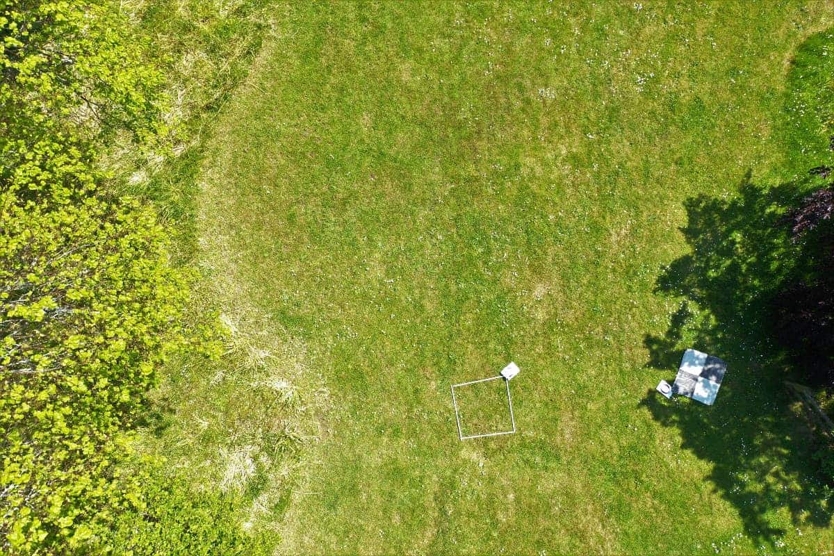
Researchers at the University of Exeter now believe drones and satellites are well-suited for the task, being able to capture the changes in richness and abundance of floral resources through aerial images (both RGB images and spectral and structural data). The technology has progressed greatly in recent years, lowering costs and opening up opportunities — such as helping pollinators.
“With some pollinator species in decline, including many wild bees, we urgently need this understanding to protect not just pollinators in general but also the great diversity of species that each play vital roles in complex ecosystems,” lead author Dunia Gonzales said in a statement. “Drones can now give us fine details of a landscape.”
Technology for pollinators
Pollinating insects vary in how far they travel for food or during migrations, with small-sized insects traveling just around one kilometer and larger ones sometimes covering hundreds of kilometers. There are manual methods to track insect movements in the field, but this is usually challenging given their small body sizes paired with their quick movements. This is where the satellites come in.

The team paired remote sensing approaches with traditional methods of quantifying insect movements in the field. This is particularly important due to the fast development of many rural habitats into agricultural fields or urban environments, which can affect the quantity and quality of floral resources.
“Along with behavioral studies of insects, this will help us understand the threats they face and how to design conservation programs,” Gonzalez said in a statement. “With some pollinator species in decline, we urgently need this understanding to protect not just pollinators in general but also the great diversity of species that play vital roles.”
But this is still early days for this type of approach. Gonzalez and her team acknowledge using remote sensing to measure floral resources is still novel within the field of pollination. Satellite imagery has been the most popular so far, they argued, because of the amount of information already available and the fact most of the time, it’s free. But while satellite data may be easily available, its resolution isn’t amazing.
Drones could be a good complement to satellites as they can capture more detailed imagery, including details about individual flowers that can be detected and quantified. The use of drones could facilitate studies on how pollinators interact with different flowers along, offering fine-grained information, especially important for pollinators reliant on particular food sources for survival.
Combining drone imagery with behavioral observations of insect pollinators could also show how shifts in flower number and species richness influence their populations from year-to-year or across decades. Drones could also be critical to modeling habitat requirements for different pollinators and identifying areas of suitable habitat.
“Up to now, most research using satellites has focussed on large-scale agricultural landscapes such as oilseed rape, maize, and almond farms,” Gonzales said. “We highlight the need to study landscapes with complex communities of plants and pollinators. Using satellites and drones together is a good way to learn about these local differences.”
The study was published in the journal Frontiers in Ecology and Evolution.