Game-changing new NASA satellite will map most of Earth's water from space
The new satellite will give us a better understanding of how climate change affects our environment.
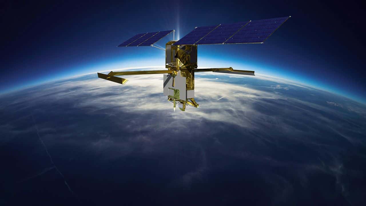
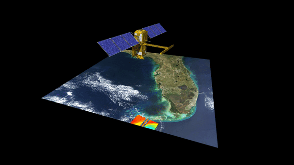
With the launch of a new NASA satellite on December 16, we will be able to see water on Earth in literally a whole new way. The satellite called Surface Water and Ocean Topography (SWOT), held in conjunction with the French space agency Centre National d’Études Spatiales (CNES), will examine water on more than 90% of the planet’s surface and measure the height of water in both oceans and freshwater bodies.
Measurements made by SWOT will show how global warming affects oceans, lakes, rivers and reservoirs. Additionally, this satellite data can help communities better prepare for floods and other water-related disasters, which are becoming more frequent as a result of the climate crisis.
Water is essential for life on Earth, but it also affects our weather and climate by storing and moving carbon and heat sucked in from the atmosphere. Scientists can learn more about the global water budget by looking at this resource and can then figure out the main sources of water, how these sources are changing, and what effects this will have on different environments.
“It will help us understand where water is, where it’s coming from, and where it’s going,” said Katherine Calvin, chief scientist and senior climate advisor at NASA.
Scientists have many questions about how heat moves between the Earth’s atmosphere and the ocean and how that might speed up global warming. SWOT will answer some of these.
SWOT’s Ka-band Radar Interferometer, or KaRIn, will be able to find details that are 10 times finer than the information sensors at sea level can retrieve. KaRIn sends radar pulses from one of the antennas that reflect off the Earth’s surface, and the return signal is picked up by both antennas working together. The combined efforts of the antennas enable scientists to map surface water in two dimensions. Current ground and satellite monitoring only collect data on a few thousand of the world’s largest lakes, but SWOT will increase that number to over one million.
Currently, to study bodies of water, researchers use instruments like river or ocean gauges that measure specific locations. One thing that makes it hard to get accurate readings are river banks — it’s hard to get a grip on the size of rivers with steep banks. Earlier satellites in space could not determine the depth of Earth’s water bodies.
But the KaRIn radar can take measurements even when there are clouds in the sky or when it’s dark at night. On the satellite, each antenna is at the end of a 33-foot-long (10-meter-long) boom. These antennas send radar pulses to the water’s surface and pick up the signals that come back. The spacecraft will take 3D pictures of almost all rivers wider than 330 feet (100 meters) and measure ocean features less than 60 miles (100 kilometers) across.
SWOT also includes an X-band radio communication system to relay the data to scientists, a radiometer to compensate for the delays in receiving signals from moving water, an altimeter, and a thermal management system to keep the satellite stable while in space’s extreme heat and cold.
“If we really want to understand [the water cycle] in ways that are important for us, we need to be able to think about it not just conceptually, but in terms of volumes,” hydrology science lead Tamlin Pavelsky explained during a briefing on Dec. 13. “How much water is there, and how is it flowing from place to place? SWOT is going to allow us to do that.”


