Sahara might have been crossed by three large rivers the size of the Nile 100,000 years ago
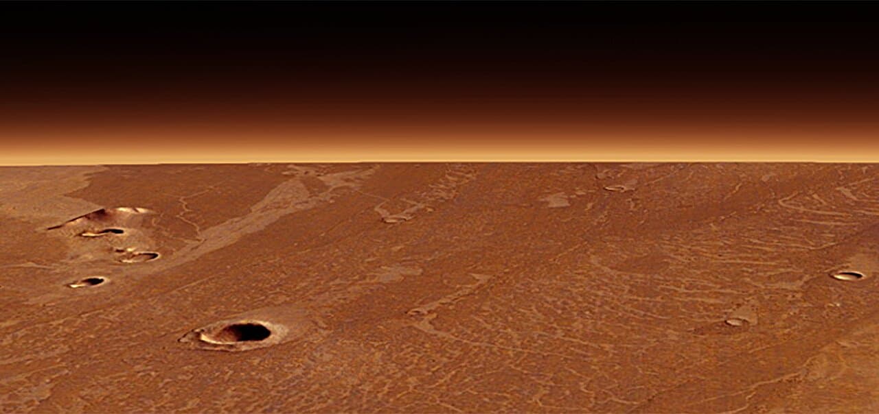
When the Sahara comes to mind, lush greenery and gorgeous, fast flowing waters might be the last scenery that crosses you. Not too long ago (geological frame), however, the region known today as the Sahara may have been crossed by three giant rivers the size of the Nile, according to a recent palaeohydrological model made […]
When the Sahara comes to mind, lush greenery and gorgeous, fast flowing waters might be the last scenery that crosses you. Not too long ago (geological frame), however, the region known today as the Sahara may have been crossed by three giant rivers the size of the Nile, according to a recent palaeohydrological model made by researchers at Hull University, UK led by Professor Tom Coulthard. The paper also discusses the possibility whether one or more of these rivers might have been used as migration routes by early humans leaving central Africa.
Recent evidence reported by other studies suggest that the Sahara was once quite green, dotted with numerous lakes. Considering this, it’s reasonable to assume large flowing waters might have riddled the region in ancient times. Using climate models to estimate rainfall some 100,000 years ago, the Hull researchers constructed a new model which showed ancient monsoons formed 400 miles north of where they do today, spilling rain on mountains in the central Sahara. The huge amounts of water coupled with the terrain’s geometry could have offered the perfect conditions for three large rivers to surface, each approximately the size of the Nile, also forming vast wetlands in what is now Libya.
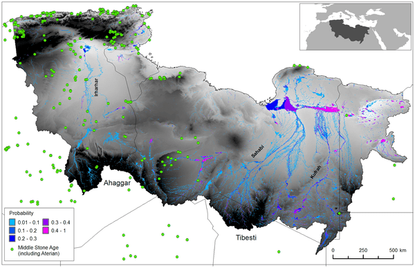
Simulated probability of surface water during the last interglacial. (c) PLOS ONE
The westernmost of the three potential ancient Saharan rivers, referred in the paper as the Irharhar, represents the most likely route for human migration from Africa into Europe. The Irharhar river flows directly south to north, uniquely linking the mountain areas experiencing monsoon climates at these times to temperate Mediterranean environments where food and resources would have been abundant – clusters of archaeological sites in Algeria and Tunisia back up the idea, according to the paper published in the journal PLoS ONE.
Unfortunately any “foot prints” these ancient rivers might have left on the Earth are hopelessly buried underneath sand dunes.